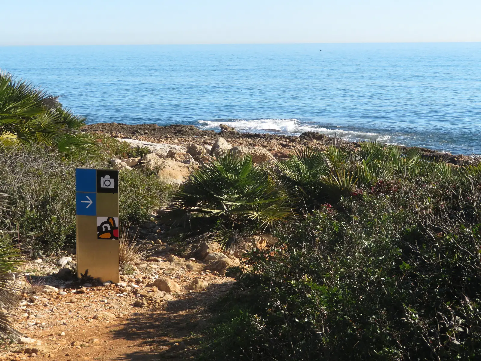
The Serra d'Irta walking routes are the waymarked paths the Valencian regional government recommends within the natural park: eight numbered routes, three short colour-coded routes and three mountain bike itineraries. They range from a 1.3 km stroll to the 16.4 km ridge traverse, and several start directly from Alcossebre.
Official walking routes
| Route | Distance | Difficulty | Duration | Start |
|---|---|---|---|---|
| 1. Mas del Senyor - Clot de Maig - Pebret Dunes - Torre Badum | 13.3 km circular | Medium | 4 h 15 min | Font Nova estate (Peñíscola) |
| 2. Faro d'Irta - Cala Cubanita - Font de la Parra | 12.8 km | Low | 3 h 25 min | Cala Blanca (Alcossebre) |
| 3. Xivert Castle - Assagador de la Serra | 7.7 km | Medium | 2 h 45 min | Camino Clot del Diumenge (Alcalà de Xivert) |
| 4. Polpis Castle - Boixar Ravine | 7.4 km | Medium | 2 h 45 min | Santa Magdalena de Pulpis cemetery |
| 5. Santa Llúcia i Sant Benet hermitage | 1.3 km | Medium | 45 min | Montemar estate, C/ Oliveres (Alcossebre) |
| 6. Alto de Vistahermosa - Sant Antoni hermitage | 11 km | High | 3 h 50 min | Nerea estate (Peñíscola) |
| 7. Along the ridges | 16.4 km | High | 5 h 45 min | Santa Llúcia hermitage → Sant Antoni hermitage |
| 8. Carrera Ravine - Pico Campanilles | 4 km | High | 1 h 55 min | Barranco de la Carrera (Alcalà de Xivert) |
| Red: A landscape of contrasts | 8.5 km circular | Low | — | Irta lighthouse (Alcossebre) |
| Blue: Strolling along the coast | 2.7 km circular | Low | — | Torre Badum / Pla del Pebret (Peñíscola) |
| Yellow: A trip into the past | 1.5 km | Medium | — | Santa Magdalena de Pulpis |
Note: on the park's official website the Polpis castle route is also numbered 3; we list it here as 4 to tell them apart.
Routes starting in Alcossebre
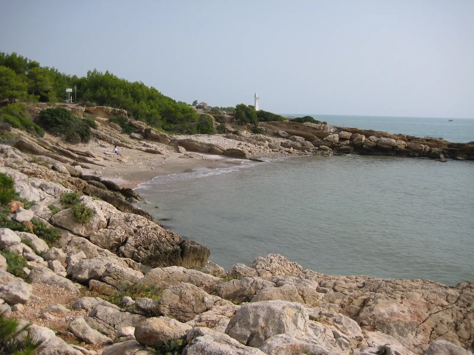
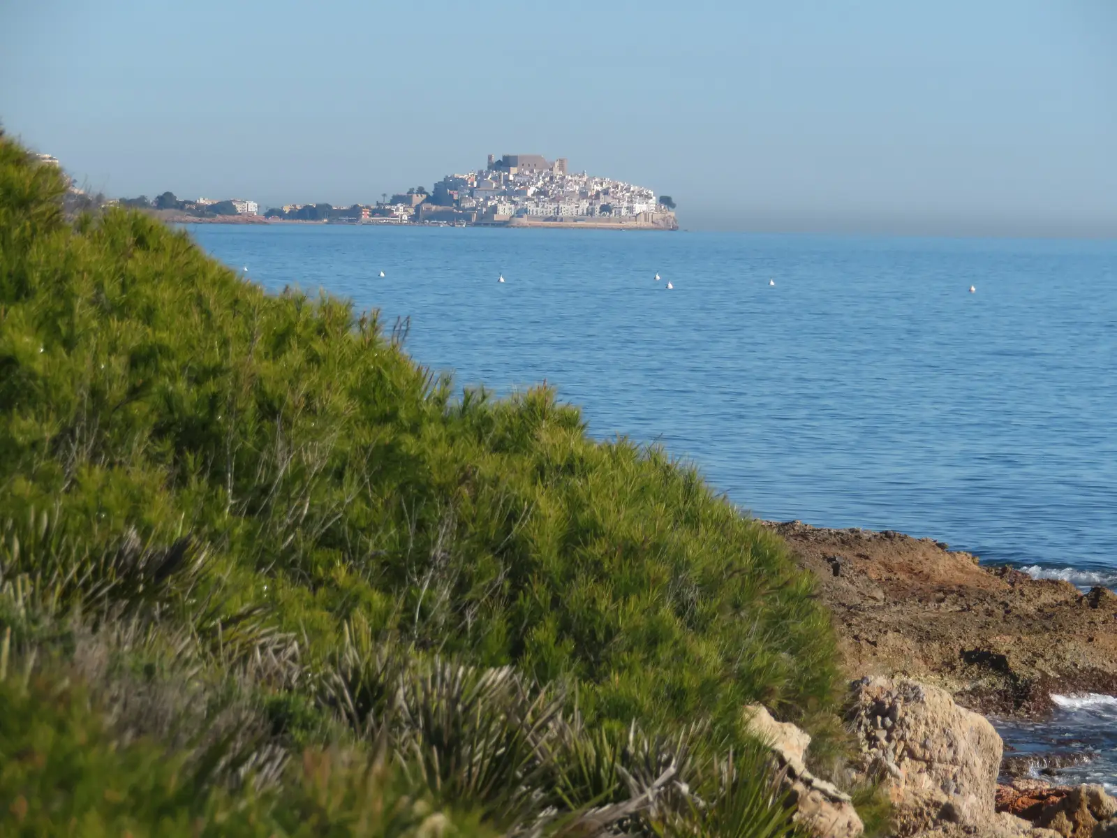
Route 2, Faro d'Irta - Cala Cubanita - Font de la Parra (12.8 km, low). The great coastal walk in the south of the park. It starts at Cala Blanca, by the lighthouse, and follows the shore past Cala Mundina and the Serradal pebble beach to the mouth of the Font de la Parra ravine, on the boundary between Alcalà de Xivert and Peñíscola. It stays by the sea the whole way and has unshaded stretches.
Red route, A landscape of contrasts (8.5 km circular, low). A shorter version of the same stretch: it leaves from the Irta lighthouse, reaches Cala Cubanita and loops back to the start. Ideal for a morning.
Route 5, Santa Llúcia i Sant Benet hermitage (1.3 km, medium). Short but uphill, from the Montemar estate to the baroque hermitage at 312 m, which overlooks Alcossebre. The hermitage is also where route 7, Along the ridges, begins: the park's most demanding traverse, ending at the Sant Antoni hermitage in Peñíscola.
Route 8, Carrera Ravine - Pico Campanilles (4 km, high). Climbs to the roof of the range, 572 m. Short but tough.
Cycling routes (mountain bike)
| Route | Distance | Difficulty | Duration | Itinerary |
|---|---|---|---|---|
| Ruta del Cranc | 13.2 km | Low | 3 h 10 min | From Cala Blanca (Alcossebre) along the Ribamar track to Cala del Volante and, by road, to Cala de l'Arjub (Peñíscola) |
| Ruta del Fardatxo | 16.2 km | High | 2 h 30 min | From Cala Blanca to the Font Nova estate, via Cala Argilaga, Pou del Moro and Mas del Senyor |
| Ruta del Xoriguer | 24.3 km | Medium | 2 h 30 min | Circular from Santa Magdalena de Pulpis via Xivert Castle |
The Ruta del Cranc is the Alcossebre-Peñíscola coastal track and a favourite with cycle tourists: a dirt track, sea views all the way and just one challenge, the climb to Torre Badum. Remember that on the tracks pedestrians have priority and the speed limit is 30 km/h.
Tips before you set off
- Water and shade: the coastal routes have long sunny stretches. Carry at least a litre and a half of water per person and a hat.
- Best time: early morning or late afternoon, especially from June to September.
- No fires and no camping: both are prohibited throughout the park.
- Driving in summer: if you plan to leave the car on the park's coast, in summer you need a booked space. We explain it in how to get to the Serra d'Irta.
- A swim at the end: many routes pass coves; you'll find the list in Serra d'Irta coves. They have no lifeguards.
- Route sheets and maps: download the routes from the official park website or ask at the Alcossebre Tourist Info.