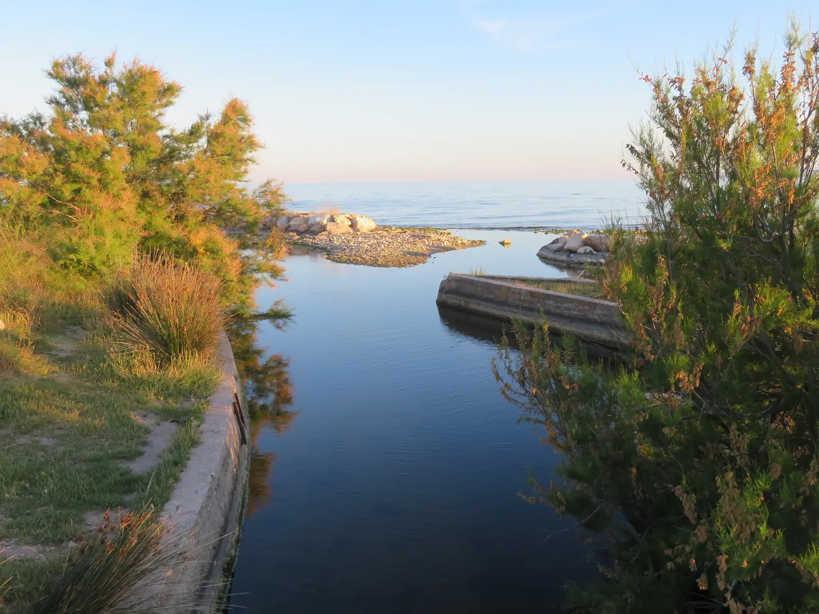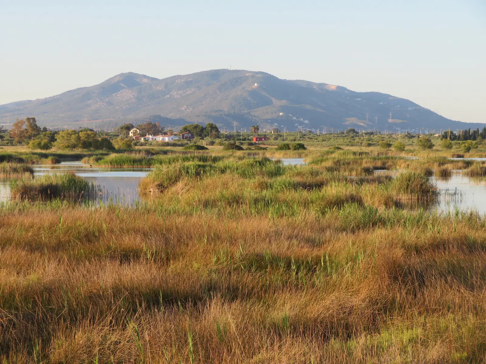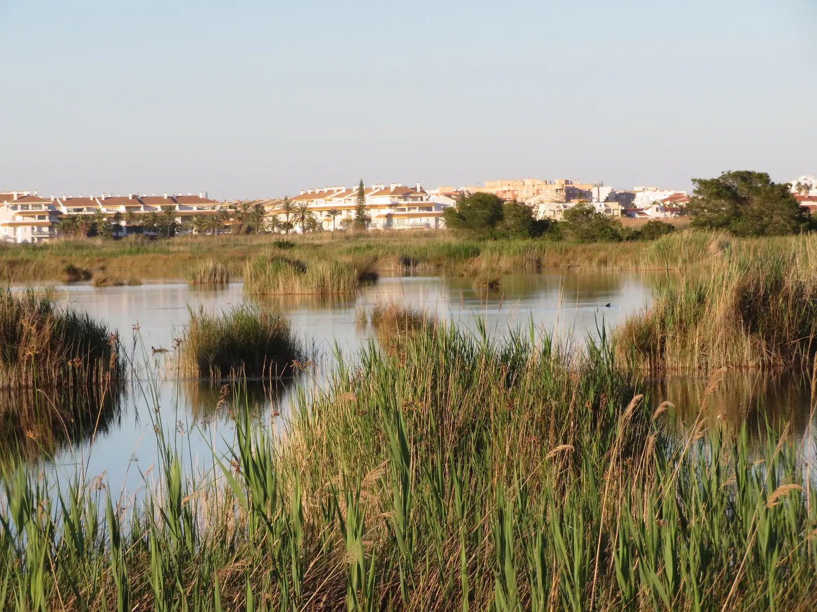
The Prat de Cabanes-Torreblanca is the coastal wetland closest to Alcossebre: a strip of lagoons, reedbeds and marsh between Cabanes and Torreblanca, separated from the sea by a ridge of pebbles and dunes. It is one of the places on the Castellón coast where you can best see the life of a wetland, above all the birds (there is a separate guide to birdwatching at the Prat de Cabanes).
Its official name, and why it is not the "Pla de Cabanes"
The official name is Prat de Cabanes-Torreblanca Natural Park (in Valencian, Parc Natural del Prat de Cabanes-Torreblanca), as it appears on the Ramsar Convention sheet and in the Consell's Decree 4/2003. "Prat" is a Valencian word meaning meadow.
Many people call it "Pla de Cabanes", but the Pla is something else: the inland farming plain around Cabanes, with vines and almond trees. The coastal wetland is the Prat. If you are looking for official information, on maps or from the Generalitat, search for "Prat de Cabanes-Torreblanca".
What it is and which designations protect it
| Designation | Detail |
|---|---|
| Natural Park | Created as a natural site in 1988 (Decree 188/1988) and became a natural park with Law 11/1994 |
| Planning and management plan | Consell Decree 4/2003 (PORN and PRUG) |
| Ramsar wetland no. 458 | Designated on 5 December 1989; 848 ha according to the sheet updated in 2020 |
| ZEPA ES0000467 | Special Protection Area for birds |
| Natura 2000 network | Site ES0000060 |
| IBA no. 152 | Important Bird Area (SEO/BirdLife) |
| Plant micro-reserves | Quarter Vell beach and Torre de la Sal |
Its area is usually given as "about 850 hectares": the official sources differ by a few dozen hectares depending on the measuring method.
A wetland that lives on groundwater
The Prat is a highly evolved barrier-and-lagoon system: a coastal ridge of pebbles, gravel and sand closed off an old bay that silted up over thousands of years. The ridge is receding for lack of sediment.
Almost all the water in the wetland comes from groundwater: the aquifer of the Oropesa-Torreblanca plain surfaces in springs called, in Valencian, ullals. There is a salinity gradient from fresh water near the inland edge to brackish water near the coast. The aquifer is overexploited and has problems with seawater intrusion, and summer is very dry, which explains why the water level varies through the year.
What you can see
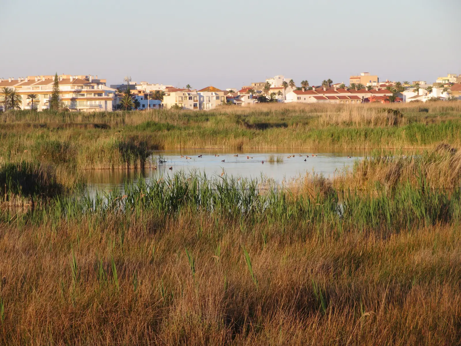
- Vegetation: reedbeds and rushes, salt marsh, Phoenician juniper on the dunes of the ridge and eucalyptus plantations beside the ditches. The Ramsar sheet counts almost 600 confirmed taxa, with threatened wetland plants and three endemic ones, such as the Torreblanca sea lavender.
- Endemic fish: the Spanish toothcarp (fartet) and the Valencia toothcarp (samaruc).
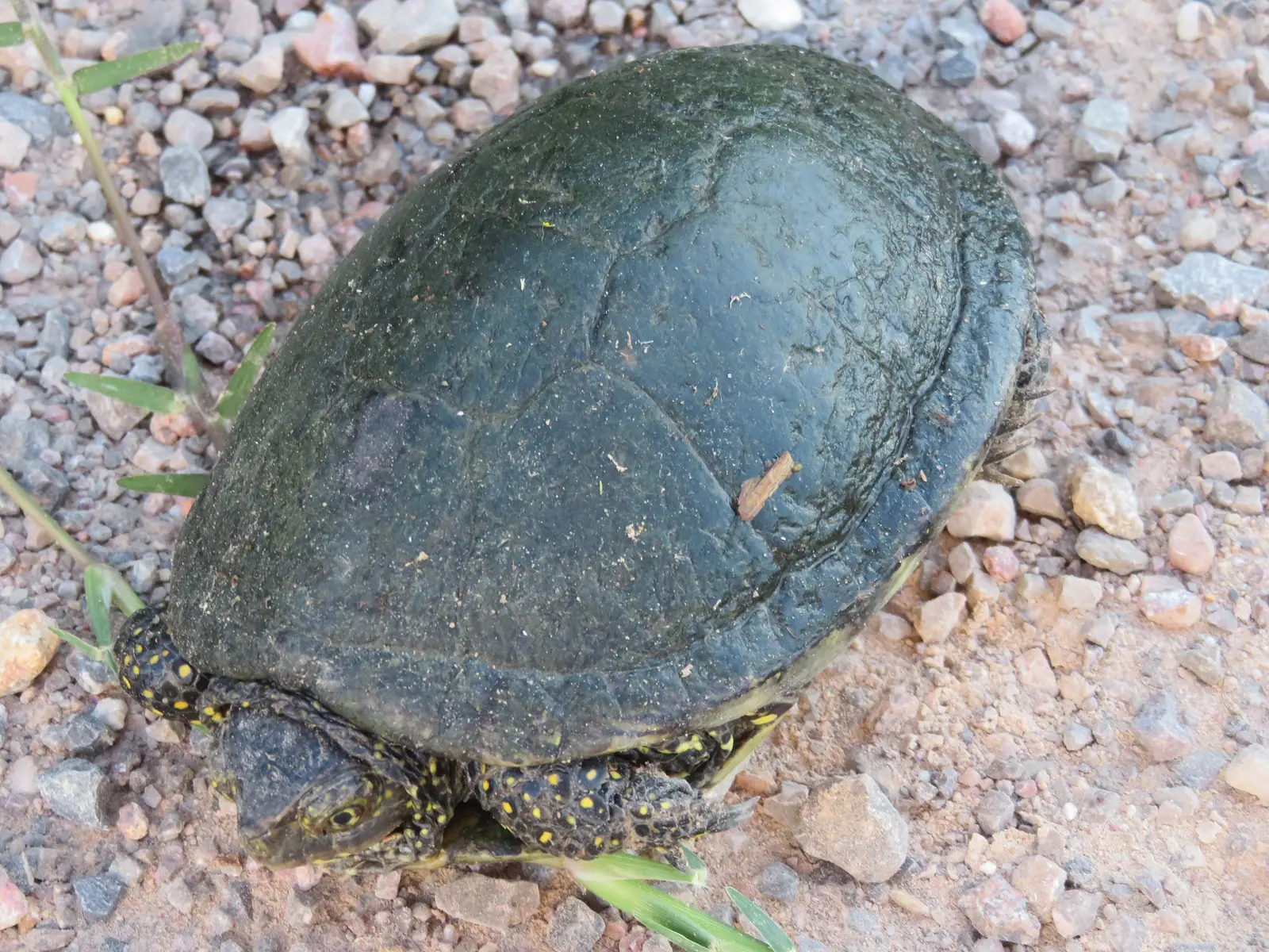
- European pond turtle: a species of interest that lives in the wetland.
- Birds: 237 species recorded since 1990. The details, by season, are in the birdwatching guide.
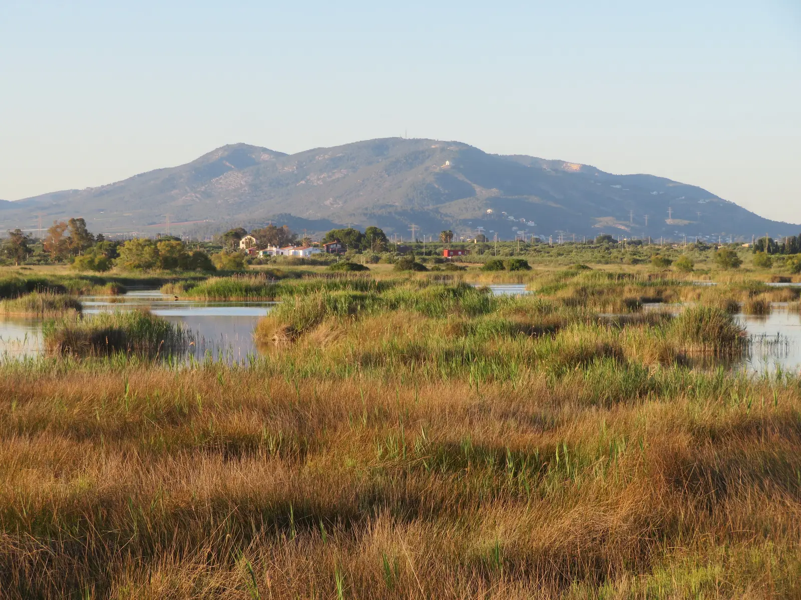
- Landscape: lagoons with their own names such as Els Clots, areas such as El Tremolar, the mouth of the Gola del Trenc and, in the background, the Serra d'Irta.
Visitor centre
The interpretation centre is at the Torre de la Sal Aquaculture Institute (Ribera de Cabanes, 12595 Cabanes), next to Torre la Sal beach. Phones 964 376 410 and 679 196 327, email parque_prat@gva.es. Public opening hours according to the park's official website (checked 20/11/2026): Monday to Friday 9:00–14:00, and Saturdays, Sundays and public holidays 9:00–13:00. It is closed on 1 and 6 January and on 24, 25 and 31 December. If you go at a weekend, call first, because another Generalitat listing gives different hours.
In recent years the Generalitat has scheduled sunset birdwatching walks with an ornithologist; check the current activity programme on the park's official website.
Signposted routes
According to the Generalitat's tourism website, there are three signposted routes, all easy and with no climbs:
| Route | Length | Description |
|---|---|---|
| Red | 3.5 km | Circular, through a small Phoenician juniper reserve; suitable for children |
| Blue | 7.5 km | Extends the red route to a barrier of rounded pebbles |
| Yellow | 4.5 km | Fossil dunes, ditches and lagoons |
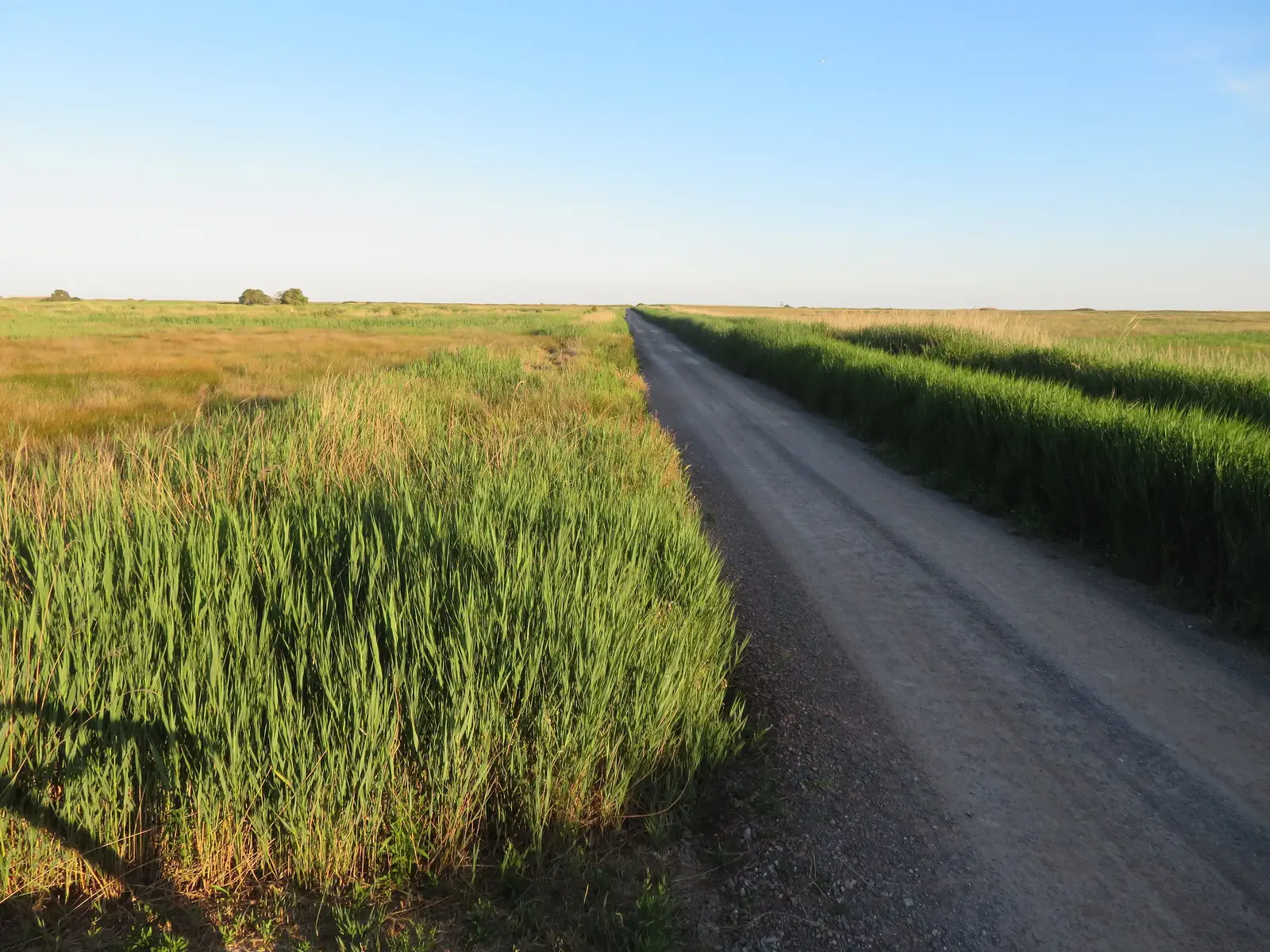
The guide website BirdingPlaces also describes a circular route of about 8 km from the Torre la Sal car park, on an unpaved track over flat, open ground, suitable on foot or by bike. More details on the routes at the tourism page. Do not confuse the "red route" at the Prat with the "red route" in the Serra d'Irta: they are different routes.
Park rules
The use plan (Decree 4/2003) allows visits on foot along authorised paths and tracks, horse riding only on paths, and bicycles and vehicles only on suitable paths. The following are forbidden:
- Leaving the paths, on foot or by vehicle.
- Bringing dogs, with or without an owner, loose or not (the only exception is authorised hunting use on permitted hunting days).
- Driving motor vehicles on the Colada del Mar livestock route and on the path to Carabineros beach, except for surveillance and authorised vehicles.
- Collecting or cutting vegetation, dumping waste, putting up advertising, draining or filling wetland areas and using herbicides.
Casa Azahar does not accept animals in its apartments either, except guide or assistance dogs with their documentation.
Hunting days
The park's use plan regulates permitted hunting days, and the park's website announces the 2026-2027 hunting season. There are hunting days in the surrounding area: check the calendar on the official website before you go.
How to get there from Alcossebre
The distances were calculated with OpenStreetMap (OSRM), by car, without traffic and from the centre of Alcossebre; from Marcomar they may differ by a few kilometres and are approximate.
| Destination | Distance | Approximate time |
|---|---|---|
| Torreblanca (town centre) | 8.8 km | 14 min |
| Torrenostra, northern end of the park | 11.9 km | 20 min |
| Torre la Sal, interpretation centre | 20.1 km | 27 min |
| Oropesa del Mar (town centre) | 25.6 km | 27 min |
| Cabanes (town centre) | 27.6 km | 29 min |
Torrenostra and Torre la Sal are the two settlements with park facilities: the first marks its northern limit and the second its southern area. For the circular route of about 8 km you use the Torre la Sal car park. Details of parking spaces and fees are not available: check them on site.
A full day: Prat, beach and mountains
- Early morning: leave Alcossebre for Torre la Sal (about 27 minutes from the centre). The 3.5 km red route, with binoculars.
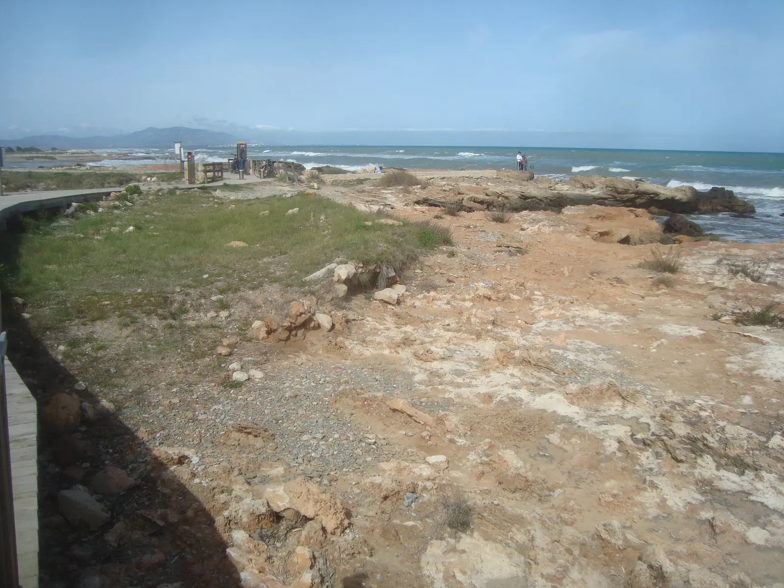
- Midday: Torre la Sal beach, of sand and gravel, about 2 km long, with car park, restaurant, toilets and access for people with reduced mobility, according to Turisme Comunitat Valenciana. The Torre de la Sal, a defensive tower declared a Site of Cultural Interest, stands on it.
- Afternoon: back to Alcossebre and, if there is light left, a walk to Cala Mundina or the lighthouse.
To combine it with the rest of the area, see the guide to the three natural areas of Alcossebre.
When to go
You can see birds all year. According to BirdingPlaces, the best times are the spring and autumn migrations. In summer the wetland is open ground with little protection from the sun: bring a cap, sun protection and water, and go early or in the late afternoon.
Where to stay
The Marcomar Apartments, in the Marcolina development, at the entrance to the Serra d'Irta, are a base for combining the wetland with the mountains.
Binoculars or camera?
Are you one of those who prefer to watch quietly, or one of those who want a photo? And if you had only one morning, would you spend it on the wetland or on the mountains?